


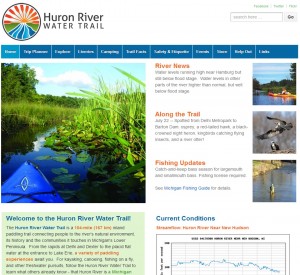
Welcome to the virtual launch for the new Huron River Water Trail website!
 The new online tool, seven months in the making, offers a nearly complete Water Trail experience . . . minus the water.
While nothing beats trying out the site for yourself, here’s a sample of what to expect:
- Clean, user-friendly interactive trip planning maps
- Extensive trail amenities – where to grab a sandwich? where to pitch a tent? what activities are happening in the Trail Towns?
- Real-time weather and stream flow information
- Outfitters with canoe and kayak rentals
- And much, much more
Are you looking for a lazy float on flat water or a chance to try your whitewater skills? Flat water, flowing river, portages, and other trail features are all mapped with recommended trips to last a few hours to a few days. Investigate the distance, time, level of difficulty, highlights, and more for each recommended trip.
The trail information and graphics complement the new Paddler’s Companion, the indispensable waterproof map book for the Huron River Water Trail. Get your own copy today!
Help us spread the word about the new planning tool for the Huron River Water Trail. Use it to plan your next trip! Tell you friends and family! And become a part of it by sharing your observations and photos.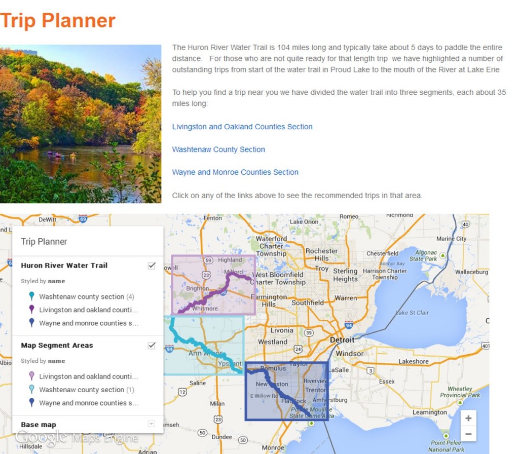
HRWC acknowledges the planning and design team of The Greenway Collaborative, Inc. and Imageweaver Studio, the Partners of the Huron River Water Trail for their review and recommendations, and the support of the Community Foundation for Southeast Michigan, the Erb Family Foundation, and the many partners of RiverUp!.