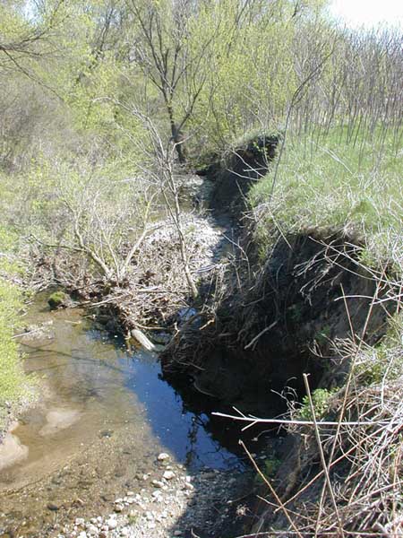
On March 21, the Ann Arbor City Council passed the Millers Creek watershed management plan showing the City’s commitment to this watershed and their support for the actions needed to protect and restore it. The plan sets a roadmap for actions to reduce the high flows in the creek, reduce excessive sedimentation and nutrient input and to engage the residents and businesses in the watershed in these efforts.
As reported by The Ann Arbor Chronicle:
Scott Dierks gave a presentation to the council on the background for the Millers Creek improvement plan, which the council was asked to adopt by resolution later in the meeting. Dierks introduced himself as representing the Huron River Watershed Council, as a member and volunteer. He described Millers Creek as one of six creeksheds in the city, covering about 2.5 square miles in the vicinity of Plymouth and Huron Parkway. The creekshed drains to the Huron River.
He traced the origin of the improvement plan back to 1992 as a grassroots effort by Environmental Research Institute of Michigan (ERIM). ERIM had reached out to the HRWC and to the landscape design firm Peter Pollack & Associates. That eventually led to a Pfizer-funded effort in 2003-04, to develop an improvement plan, which made specific recommendations in light of current and future land use in the creekshed. The plan was approved by the Michigan Dept. of Environmental Quality and the Environmental Protection Agency. The Millers Creek watershed improvement plan is still used as an example of good watershed planning by the EPA, and is accessible through the EPA’s website, Dierks said.


