Profile

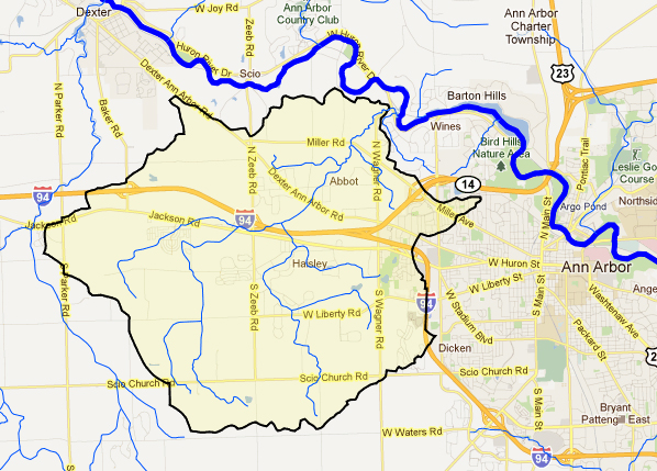
Flowing through what is now Scio and Lodi Townships as well as the western edge of the City of Ann Arbor, Honey Creek was home to numerous beehives in trees along the creek, hence its name. Historically, Honey Creekshed was an area of agriculture and gravel pit mining. Over time, areas of residential and commercial centers have developed along major road arteries. However, agriculture (including many horse pastures) is still a prominent feature in the creekshed.
There are 7 ponds (open water <10 acres) in the Honey Creekshed. There are no lakes (open water > 10 acres). Honey Creek is composed of 26 miles of branching stream channels, and it drains 23 square miles of land. The creek’s average slope is 30 feet per mile, which is steep for the Huron River Watershed as a whole. There is a rapid drop in elevation from Miller Road to the Huron River, resulting in a series of mini-rapids in this section of the creek. An undisturbed stream with this high slope will typically have well established riffle-pool sequences and excellent diversity in fish habitat and water flow. However, channelization and urbanization have reduced this habitat diversity.
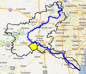
There are two Honey Creeks in the Huron River Watershed. The Honey Creekshed in Washtenaw County is highlighted on this page (the other is in Livingston County).


