


Profile
Arms Creek flows through a beautiful, rural setting. It is one of only three Huron River tributaries that has a portion designated by Michigan as a Natural River Zone. This designation restricts the location of new buildings and the clearing of trees and other vegetation close to the creek, preventing bank erosion and retaining the scenic appearance of the creek.
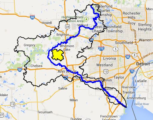
The creek meets the Huron River slightly upstream from Baseline Lake, at the southern edge of Livingston County. Nearly all of the creekshed is located in Washtenaw County and Webster Township. Most of the creekshed is owned by private landowners.
Arms Creek is composed of 13 miles of branching stream channels, and it drains 21 square miles of land. Over the length of its run, the main branch’s elevation drops 62 feet. The average slope of the main branch and the west branch is 7 feet per mile, which is about 50% flatter than an average Huron River tributary. Fish and other aquatic life are typically more diverse and productive in streams with a gradient of at least 10 ft/mi.
There are 7 lakes (open water > 5 acres) in the Arms creekshed. The biggest lake, Independence Lake, is 190 acres, and approximately 60% of its shoreline is adjacent to Washtenaw County’s Independence Lake Park. The park is 414 acres and contains 3.5 miles of nature trails that meander through high quality wetlands, woodlands, and prairies.