HRWC staff picks of favorite watershed spots, celebrating 50 years of river protection and restoration work.
A favorite spot for me on the Huron River is the delta where the voluminous waters fan out and feed western Lake Erie. There’s something satisfying about witnessing the transition from river to Great Lake, and picturing the individual stories of how – and in what shape – those droplets traveled from their places of origin. I am reminded, then, that all of our collective actions in the watershed are woven into the waters flowing past me and I hope that we’ve done justice to the blue.

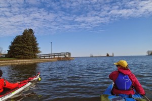
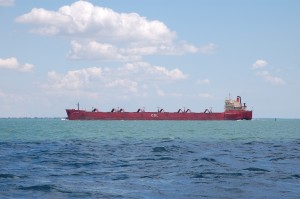
The river delta flies under people’s radars as a destination, especially for those who live outside the Downriver area. Few signs or road markers give away the location of the river’s terminus. The 40-minute drive from my house to this spot means that I don’t visit as often as I would like. But, in the past couple of years have I come to appreciate the last few miles of the river and its confluence with the lake for its natural beauty, as well as its historical significance and new opportunities for trail-based recreation. Besides, where else on the Huron River can you see a massive barge traversing the Great Lakes, or paddle into big water?
The expansive view of water, land, and sky is always changing and always beautiful. The marshlands and forested floodplains of Point Mouillee and nearby islands provide critical habitat for plants and animals as well as stopover locations for migrating birds and waterfowl. The delta sits within the Detroit River International Wildlife Refuge, a binational refuge covering nearly 6,000 acres of islands, coastal wetlands, marshes, shoals, and waterfront lands along 48 miles of Detroit River and western Lake Erie shorelines.

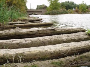
An old log road built during the War of 1812 remains under West Jefferson Avenue and is now known as Hull’s Trace – the newest addition to River Raisin National Battlefield Park. The National Park Service presence is increasing appreciation for this area through its educational programs both on- and off- the water, and reestablishing connections with the Wyandotte Nation that has deep roots here. The anonymity of the Huron River delta is slowly giving way as the National Park Service develops operations and as the Huron River National Water Trail gains paddling and fishing fans.
Drop me a line if you visit the delta and share your photos with HRWC on Facebook, Twitter, or Instagram with the tag #huronriver50.
HRWC is celebrating its 50th Anniversary this year!
Tell us your favorite watershed spot HERE.
Connect and share river ruminations or captured moments with us on Facebook, Twitter and Instagram. Use #huronriver50 to mark your posts!
Appreciate the River, Sunday July 12, by joining HRWC for some fun or heading to YOUR favorite spot with friends.


