


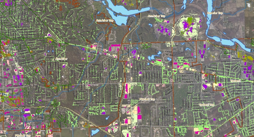
 HRWC identified Green Infrastructure (GI) Opportunity Maps, working in consultation with municipal partners in Washtenaw County. The maps were developed with the intent of identifying targets for stormwater treatment Green Infrastructure projects. HRWC utilized available aerial and geographic information across Washtenaw County to identify areas with a greater likelihood of success for establishing Green Infrastructure projects.
The maps were produced in pdf format for broad usage, but the data is also available in GIS format for use by municipal and regional planners and managers. The maps were produced at a sub-county scale for ease of use. In addition, a Guide to Green Infrastructure Opportunities was produced that explains the map contents and provides suggestions for how to use the information. The guide also describes the map purpose as well as the process used to generate the GI opportunities.
Green Infrastructure Opportunity Maps
Guide to Green Infrastructure Opportunities
GIS Files
- Complete file geodatabase
- GI Opportunities shapefile | metadata
- GI zones shapefile | metadata
PDF Snapshots
- Downtown Ann Arbor
- Northern Ann Arbor
- Western Ann Arbor
- Arbor-Ypsi Cooridor
- Chelsea
- Dexter
- Manchester
- Milan
- Pittsfield Township
- Salem Township
- Saline
- Scio Township
- South US-23 Cooridor
- Whitmore Lake
- Ypsilanti and Augusta Townships
- City of Ypsilanti
For questions about the maps or to request a copy of the GIS database or a map tailored to your community, contact Ric Lawson. Suggestions for map or prioritization improvements are also welcome. If you downloaded a map and found it useful (or even if you didn’t), we’d love to hear about it.