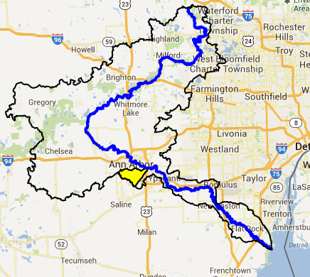
Creekshed Profile
In 1839, the Gazetter of Michigan described, “Mullet’s creek, an insignificant stream, running…three miles below the village of Ann Arbour.” The name “Malletts Creek” appears on a map that predates the founding of Ann Arbor in 1824, but the actual name origin is unknown. Malletts Creek was considered to be in the countryside, flowing through various farms and fields as well as the former city of East Ann Arbor. In the last fifty years, the watershed was been subject to extensive development, including two large malls (Briarwood and Arborland). Subdivisions, apartments, and other commercial areas have also been built, and today the Mallett’s Creek watershed is a substantial part of the City of Ann Arbor. Smaller pieces of the watershed also fall in Ann Arbor, Lodi, and Pittsfield Townships. The Washtenaw County Water Resources Commission is also responsible for the creek as it is a designated drain.
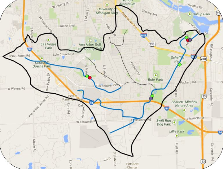
Malletts Creek is composed of 10 miles of opens streams, and it drains about 11 square miles of land. Several miles of the creek are disconnected from the main branch as they have been put underground into pipes. Malletts Creek flows into the 50 acre South Pond which then empties into the Huron River. South Pond is shallow and becoming a wetland as it fills with sediment. The creek’s average slope is 20 feet per mile, which is slightly above average for the Huron River watershed as a whole (average is 16 feet per mile). With the exception of South Pond, there are no lakes (open water > 5 acres) in Malletts creekshed, but there are several ponds (open water < 5 acres) in the creekshed, which are used for stormwater retention.
Learn more about Malletts Creek:
- Interactive Map
- The 2013 Malletts Creekshed report… Easily printed version
- The 2013 Malletts Creekshed report…. 11 x 17 version
- 2011 Malletts Creek Biota Restoration Plan
- Creek Report for Malletts Creek: Restoring a Community Resource. 1999.
- Fact Sheet for Malletts Creek: Chalmers Road
- Fact Sheet for Malletts Creek: near I-94
- Fact Sheet for Malletts Creek: Main Street
- Fact Sheet for Malletts Creek: Scheffler Park
- Management Plan for the Middle Huron